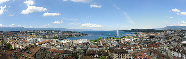
Road safety has always been an important matter for public administration. In particular, traffic accidents have increased during last years in Switzerland (1). Nowadays, a big amount of traffic data is generated in most of the European important cities. For instance, the Geneva region traffic accidents data is available.
So why not use this data to sensibilize the citizens and help the administration to apply more detailed preventive measures?
The purpose of this project is to understand better the Geneva accidents in order to provide in the future, real-time locally preventive measures in form of digital panels advice, sporadic police controls or provide input information to the future self-driving cars.
In a more digitalized world, there will be more and more cities providing complete and rich information about the road traffic data. Furthermore, the work done by the authors could be scaled up in other cities.
Structure:
This website is structured in four sections:
- Getting started where a general overview is provided.
- A visual story is developped to analyse some particular accident cases.
- The risk calculator, a quick tool to compute the risk associated to roads in Geneva
- Safety maps proof of concept of how we could apply the computed risk per road to directions applications (e.g. SBB/CFF or Google Maps)
If you want further information about this project, do not hesitate to visit the about page